Executive Summary & Property Overview
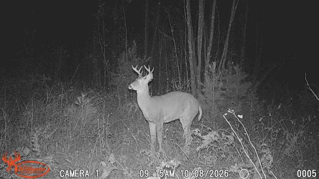
Finding a sprawling 40-acre recreational hunting parcel with a natural water source, electricity nearby, and direct boundary access to public land under $70,000 in Michigan’s Upper Peninsula is an exceptional real estate discovery. Located along 315 Airport Rd, Crystal Falls, MI 49920, this 40-acre wooded parcel enters the Iron County real estate market at a competitive list price of $68,500. Furthermore, calculating the overall valuation metrics reveals an extraordinarily low entry price of approximately $1,713 per acre. Consequently, this listing offers a high-value acquisition for whitetail deer hunters, grouse hunters, outdoor recreationists, and land investors.
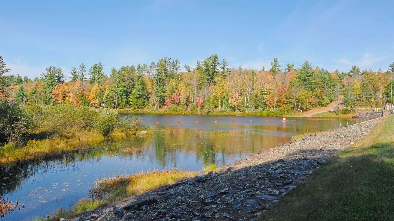
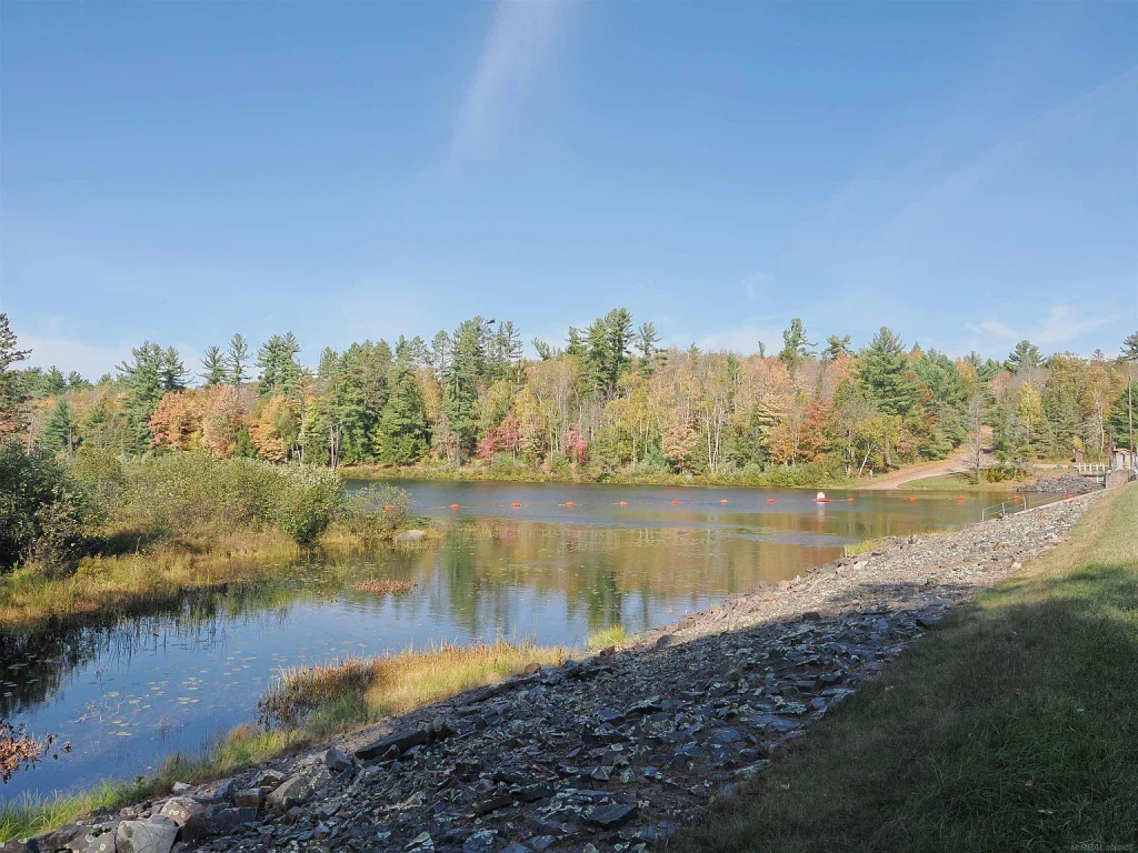
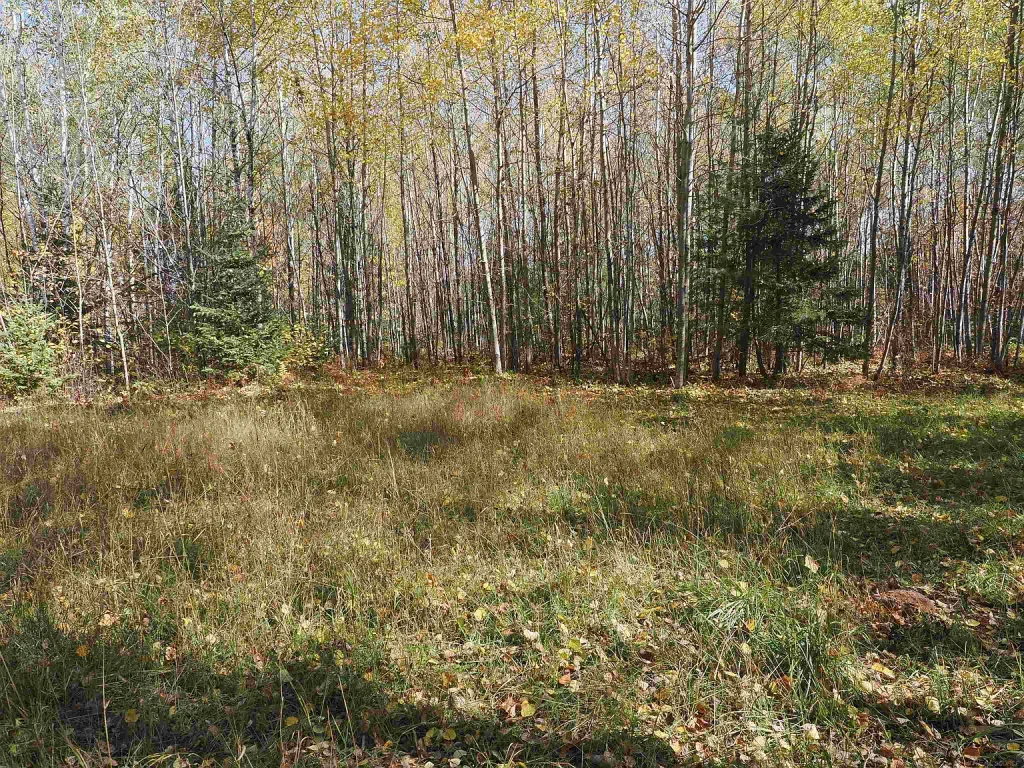
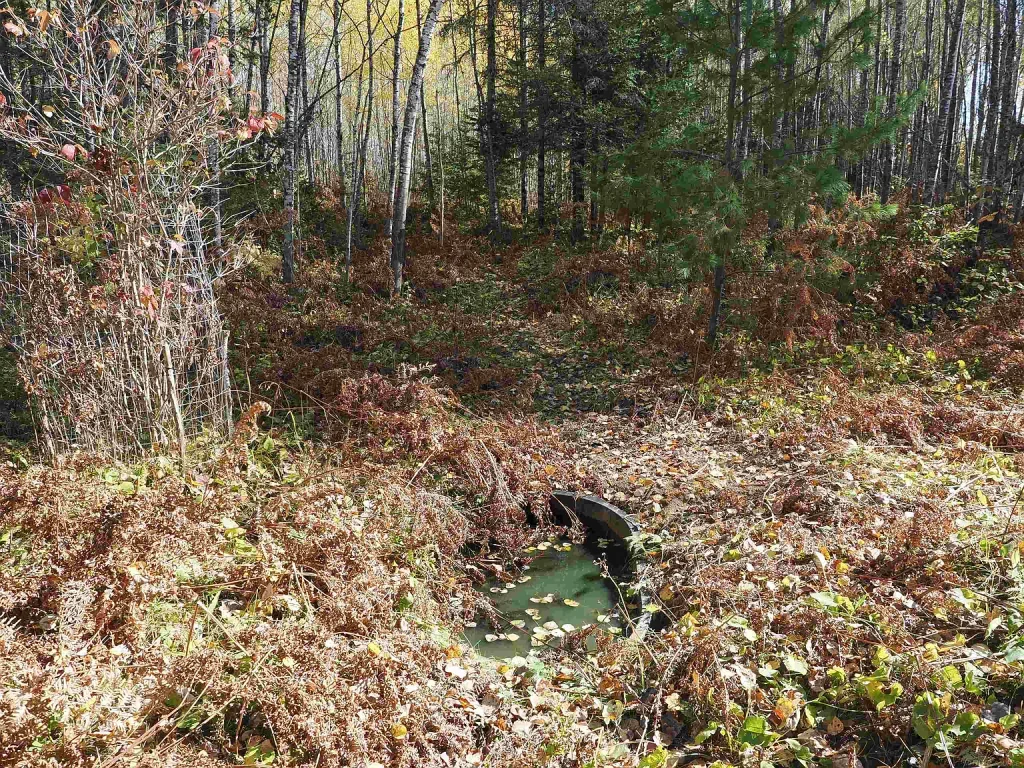
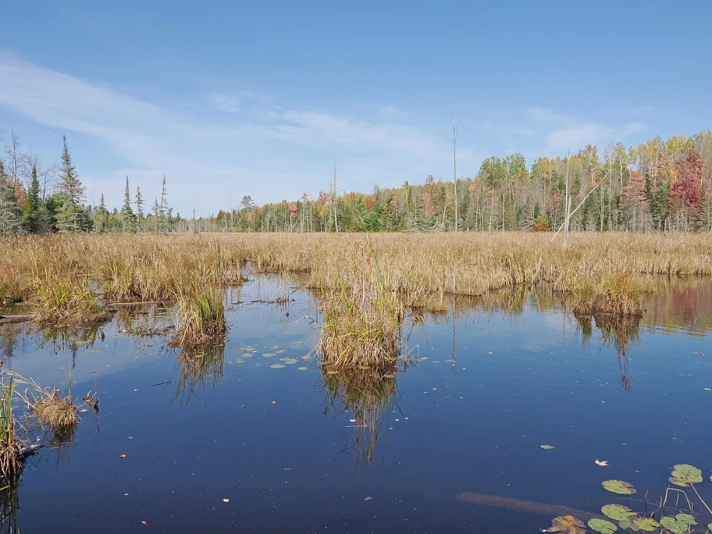
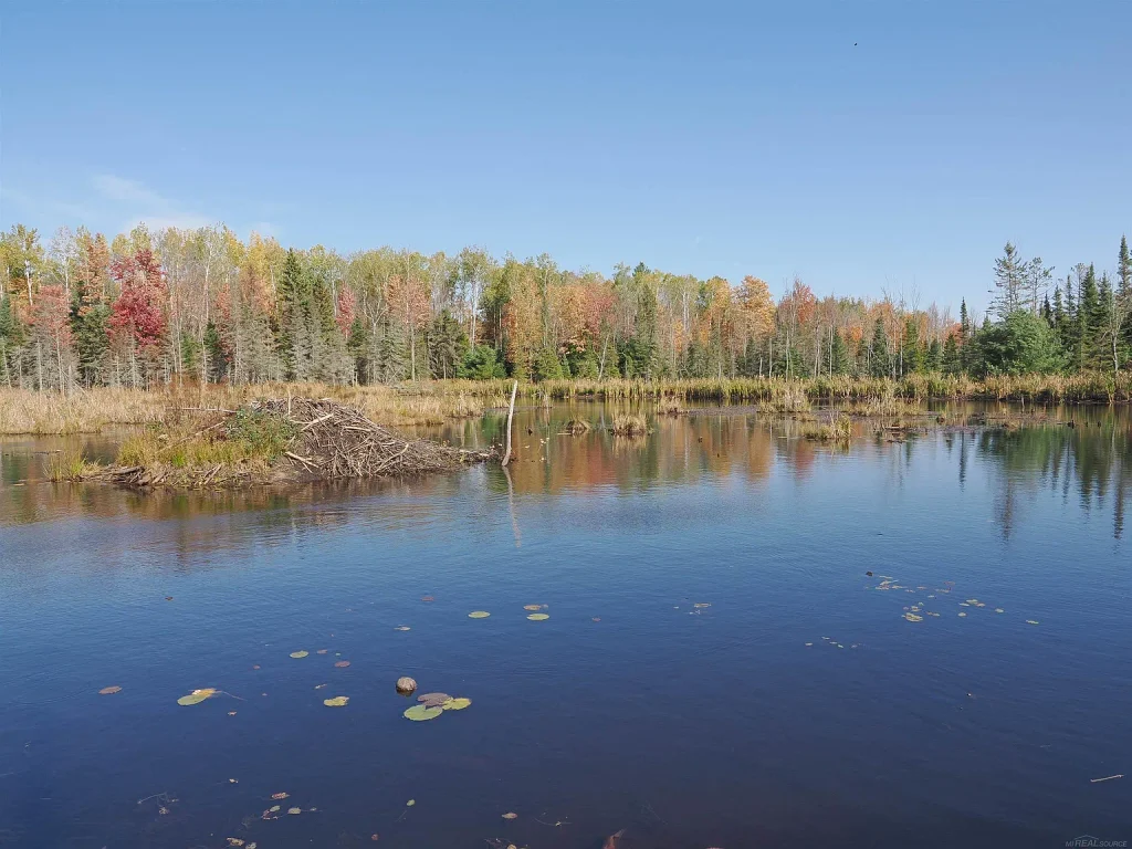
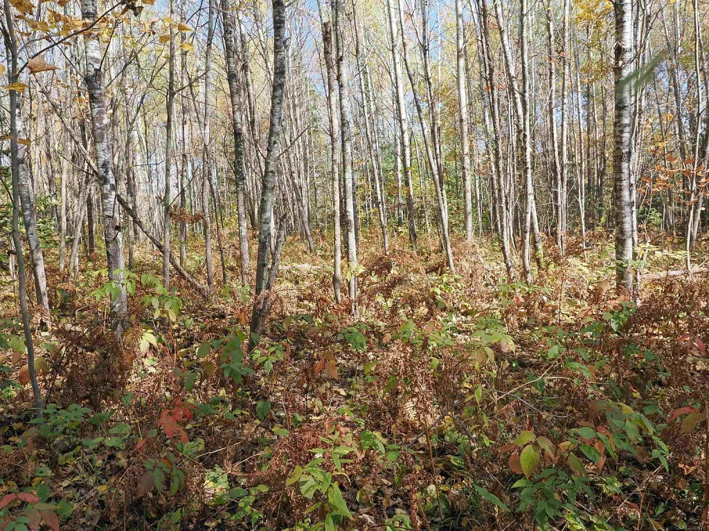
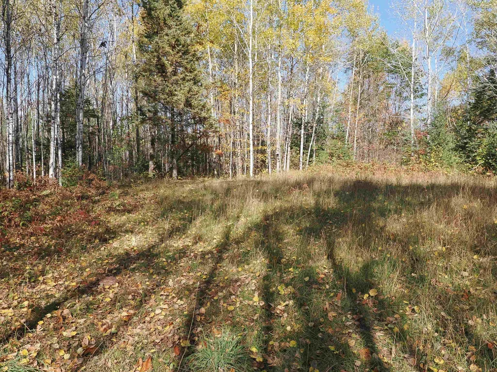
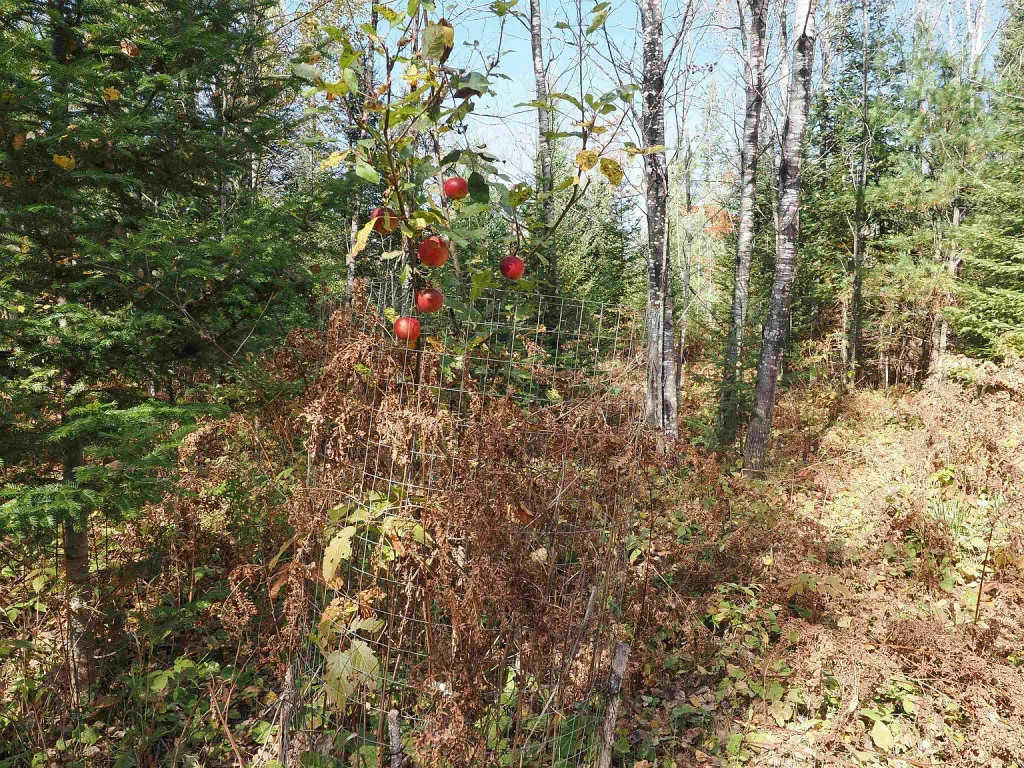
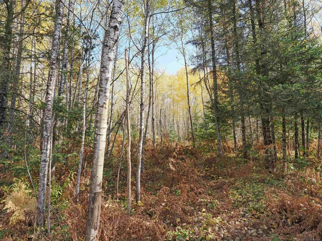
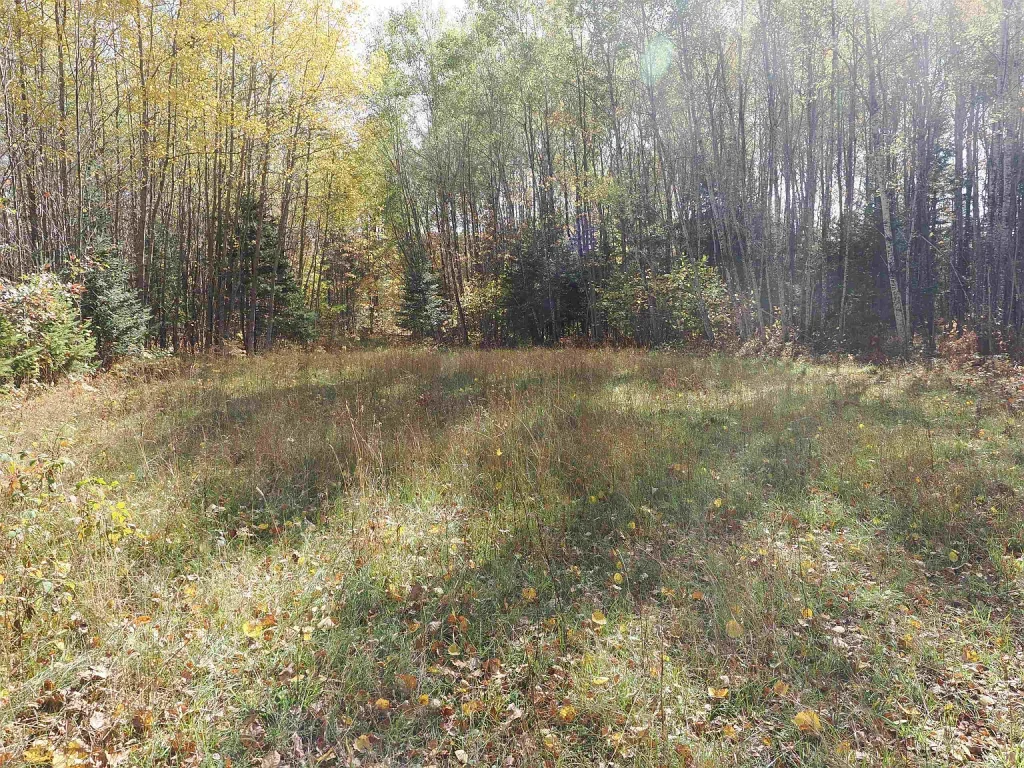
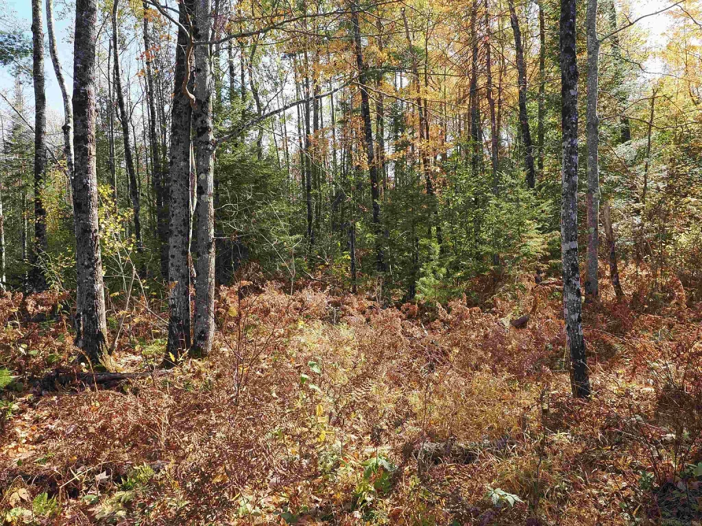
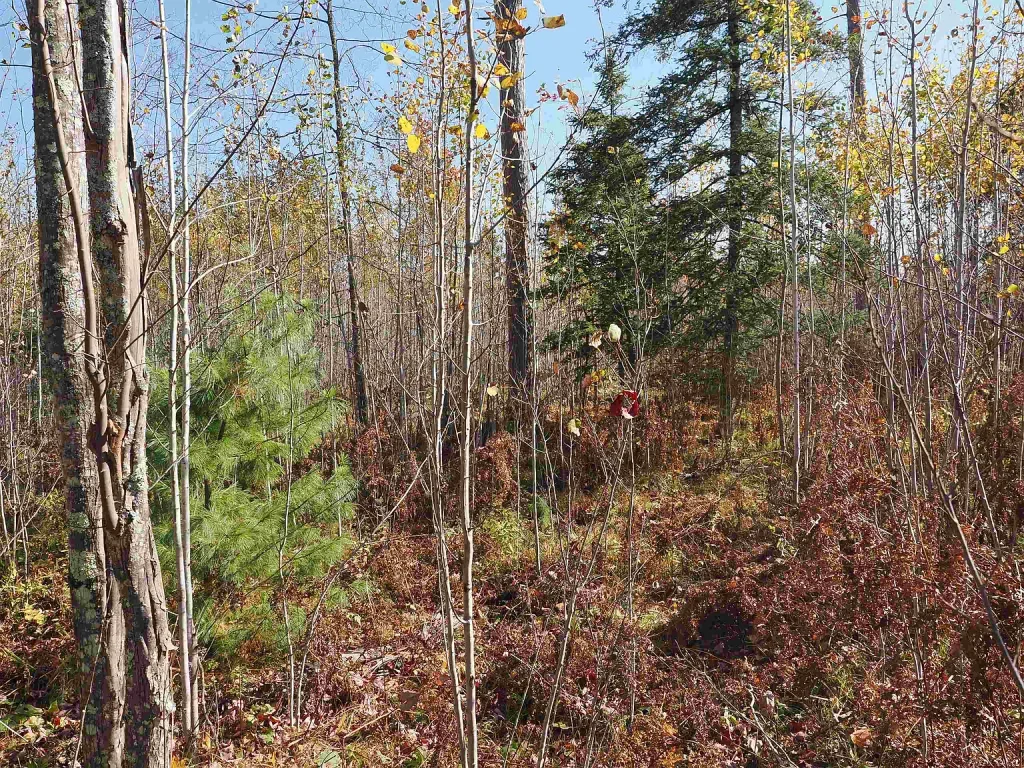
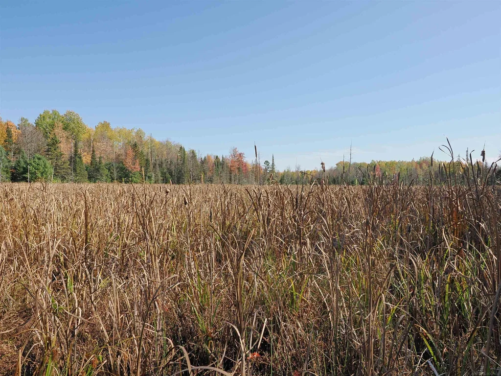
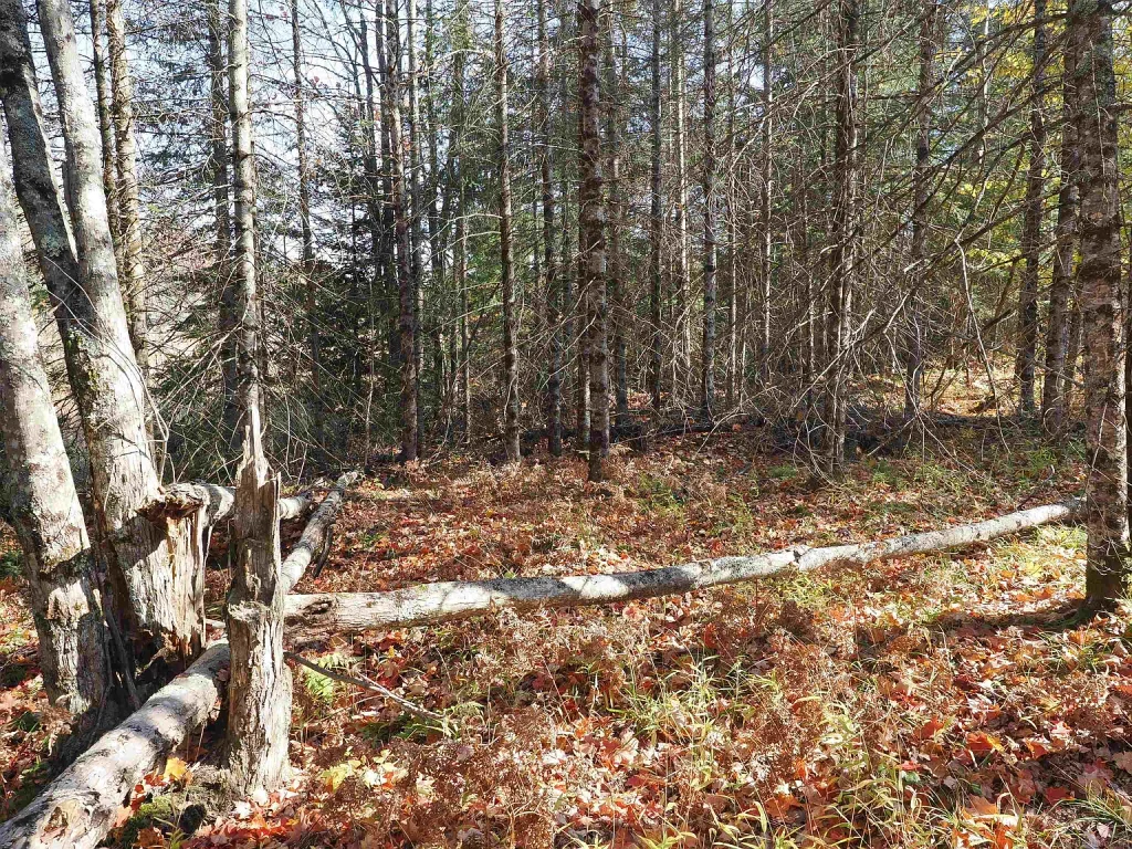
Situated in Mastodon Township near Crystal Falls, the parcel features versatile terrain that gently slopes from west to east toward an unnamed creek, where a beaver pond creates an active wetland ecosystem. Outside of this lower wetland zone, the land is predominantly high and dry, featuring an established food plot, fruit-bearing trees, mature timber, and an excellent trail system. Additionally, the tract directly adjoins State of Michigan land and Wisconsin Power land, vastly expanding your huntable footprint beyond the 40-acre boundary line. Positioned within walking distance of the Paint River and Lower Paint Dam, fishing and paddling opportunities are exceptional.
However, acquiring UP Michigan recreational land requires methodical technical planning. Therefore, prospective buyers should thoroughly evaluate seasonal road access, off-grid or electric hookup quotes, and soil suitability for building a hunting cabin before submitting an offer.
Key Property Specifications & Listing Snapshot
Below is a detailed breakdown outlining the natural, structural, utility, and financial parameters for 315 Airport Rd:
- Property Address: 315 Airport Rd, Crystal Falls, MI 49920
- Asking Price: $68,500
- Price Per Acre Breakdown: ~$1,713 / Acre
- Total Land Acreage: 40.00 Acres (Square 1,320 ft x 1,320 ft Footprint)
- Property Category: Unimproved Land / Recreational & Hunting Sanctuary
- Parcel Identification: Tax Map Parcel # 00617300900
- Zoning Description: Agricultural Zoning (Low Density / Rural)
- Public Land Border Alignment: Direct Border Access to State Land & Wisconsin Power Land
- Waterfront Features: Unnamed Creek, Beaver Wetland Habitat, Near Paint River & Lower Paint Dam
- On-Site Habitat Improvements: Established Wildlife Food Plot & Fruit-Bearing Trees
- Utilities Status: Electricity Available Just Off Property (~600 ft)
- Tax Assessed Value: $28,500 (Annual Taxes: Low ~$1,220 / Year)
- HOA Covenants: None ($0/Month)
- Listing Date: October 22, 2026
Physical Attributes & Upper Peninsula Hunting Habitat
Evaluating acreage in Iron County requires analyzing timber density, water sources, and wildlife travel corridors:
1. Diverse Terrain & High-and-Dry Building Ridge
Rather than flat, featureless forest, this 40-acre parcel offers varied topography:
- Sloping West-to-East Topography: The western portion provides high, dry, timbered ridges ideal for building a off-grid cabin or camping basecamp.
- Natural Creek & Beaver Wetland: The eastern boundary features an unnamed creek and beaver pond, supplying a permanent water source that holds whitetail deer, waterfowl, and fur-bearers.
- Established Food Plot & Fruit Trees: Pre-cleared food plot acreage and fruit-bearing trees provide immediate autumn nutritional draw for local whitetail bucks and ruffed grouse.
2. Bordering State Land & Paint River Proximity
- Adjoining State & Power Land Access: Direct alignment with State of Michigan forest and power company land allows hunters to access hundreds of additional acres without crossing private borders.
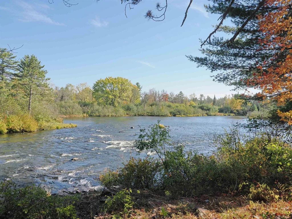
- Walk-To Fishing & Paddling: Located within walking distance of the Paint River and Lower Paint Dam impoundment, offering warm-water fishing (smallmouth bass, northern pike, walleye) and quiet kayaking.
Deep Dive: Recreational Setup & Cabin Infrastructure
Developing a UP hunting camp usually involves high initial site-prep expenses. Fortunately, this Crystal Falls tract offers key head-starts:
Cabin Site & Access Logistics:
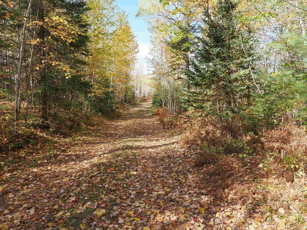
- Power Available Near Boundary: Grid electricity is located just off the property (approximately 600 feet along the trail), lowering the cost of connecting power to a future cabin.
- Established Interior Trail System: Clear, well-maintained interior trails allow easy navigation across the 40 acres with ATVs, UTVs, or snowmobiles.
- Paved US-2 Highway Proximity: Situated just a few miles off US Highway 2, providing effortless travel from Iron Mountain, Green Bay, or Chicago.
- Minimal Tax Holding Cost: Annual property taxes of only ~$1,220 per year make long-term land ownership virtually stress-free.
Comparative Financial Analysis & Market Valuation
Evaluating Iron County land values highlights why $68,500 represents an incredible entry price:
| Financial / Property Parameter | 315 Airport Rd Listing | Regional Iron County Averages | Strategic Value & Investment Outlook |
| Total Asking Price | $68,500 | $85,000 – $115,000 | Highly competitive sub-$70k entry price for 40 acres in the UP |
| Price Per Acre | ~$1,713 / Acre | $2,200 – $3,000 / Acre | Exceptional per-acre value given creek frontage and food plots |
| Annual Property Taxes | ~$1,220 / Year | $1,500 – $2,200 / Year | Low tax burden ensures low holding overhead for seasonal hunters |
| Public Land Border | Direct State Land Border | Isolated / No Border | Adjoining public land effectively expands hunting territory exponentially |
| Electricity Proximity | Available ~600 Ft Away | Off-Grid Only / Miles Away | Nearby grid power offers flexible power options for cabin builders |
Due Diligence Checklist for Prospective Buyers
Because this property is raw acreage with seasonal road access, prospective buyers should complete systematic due diligence prior to closing:
- Seasonal Road Maintenance Check: Verify winter snowplowing status along Airport Road and access trails with the Iron County Road Commission.
- Soil Perc & Well Test: Perform a soil perc test on the elevated western portion of the lot to confirm septic tank approval for a future cabin.
- Electric Extension Quote: Contact the local electric utility company to receive a formal cost estimate for extending power 600 feet to your desired building pad.
- Boundary Line Survey Audit: Locate corner stakes along the 1,320 ft x 1,320 ft perimeter where private land meets state and power land.
- Wetland & Flood Plain Delineation: Review DNR soil maps around the beaver creek zone to ensure building pads remain safely on high ground.
Ideal Use Cases & Strategic Buyer Profiles
With 40 acres, creek frontage, established food plots, public land access, and a $68,500 price tag, this listing serves several buyer goals:
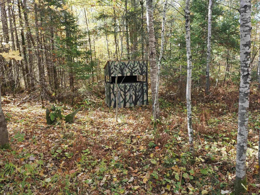
- Whitetail & Grouse Hunters: Ideal for sportsmen seeking a turn-key hunting setup with food plots, fruit trees, water, and adjoining state land.
- Off-Grid or On-Grid Cabin Builders: Perfect for buyers wanting to build a northern woods hunting cabin with power options nearby.
- Anglers & Outdoor Enthusiasts: Great for fishermen and kayakers wanting close access to the Paint River and Peavy Reservoir waters.
- Long-Term Land Investors: Suitable for real estate buyers seeking tangible Upper Peninsula acreage with minimal holding costs ($1,220 taxes).
Frequently Asked Questions (FAQs)
1. Does the property border public hunting land? Yes. The parcel directly adjoins both State of Michigan land and Wisconsin Power land, providing seamless walk-on hunting access.
2. Are there water features on the 40 acres? Yes. The land features an unnamed creek and beaver wetland, and sits within walking distance of the Paint River and Lower Paint Dam.
3. Is electricity available on or near the property? Yes. Grid electricity is available just off the property, located approximately 600 feet from potential building sites along the access trail.
4. How much are the annual property taxes on this parcel? The annual property tax for this 40-acre parcel is approximately $1,220 per year based on an assessed value of $28,500.
5. Are there existing hunting improvements on the land? Yes. The property includes an established wildlife food plot, fruit-bearing trees, a permanent water source, and a clear trail system.
Final Verdict & Recommendation
At $68,500 ($1,713/acre), the 40-acre property at 315 Airport Rd, Crystal Falls, MI represents an exceptional Upper Peninsula recreational property. Combining a natural creek, established food plots, fruit trees, adjoining state land, power availability nearby, and low $1,220 taxes, this Iron County listing offers immense value. Consequently, we highly recommend this parcel for hunters, anglers, and cabin buyers.
Disclaimer: This analysis is an independent real estate review for educational purposes and does not constitute a formal listing advertisement or financial advice. All property details, taxes ($1,220/yr), acreage figures (40 ac), and utility connection terms should be verified independently with public records and licensed real estate professionals.
Listed by Zillow
